
Early Maps
– Buch gebraucht, antiquarisch & neu kaufen

120 Treffer in
Bücher
gebraucht
Neuware

The Map Collector. A quarterly journal lovers of early maps. Jahrgang 1989, 3 Hefte
Map Collector Publications Limited

An Atlas of Old New Haven, or, "The Nine Squares" as Shown on Various Early Maps
Creative Media Partners, LLC
, 09.09.2021, BuchISBN: 9781013914409
Neuware

An Atlas of Old New Haven, or, The Nine Squares as Shown on Various Early Maps
HASSELL STREET PR
, 2021, Kartoniert / BroschiertISBN: 9781014550767
Neuware

An Atlas of Old New Haven, or, The Nine Squares as Shown on Various Early Maps
HASSELL STREET PR
, 2021, GebundenISBN: 9781013914409
Neuware

Historian s Guide to Early British Maps
Helen Wallis
Cambridge University Press
, 2018, GebundenISBN: 9780521551526
Neuware
mehr Info >>
wird gespeichert …
Early maps of Australia. The Dutch period. Being examples from the collection of R. V. Tooley with bibliographical notes.
Tooley, R. V..
London, Map Collectors' Circle, 1965.
, Softcover
Early Printed Maps of the British Isles 1477-1650 *SIGNED*
Shirley, Rodney W.
Antique Atlas Publications
, 1991, HardcoverISBN: 0951491423
Zustand: Gut
mehr Info >>
wird gespeichert …
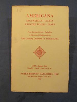
Americana. Incunabula. Early Printed Books. Maps.
Parke-Bernet Galleries, New York
54 S. Original-Broschur.
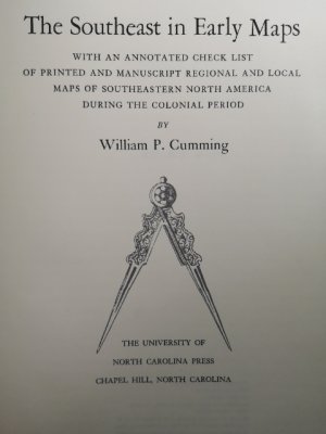
The Southeast in Early Maps. With an annotated check list of printed and manuscript regional and local maps of southeastern north America during the colonial period.
Cumming, William Patterson.
University Press. Princeton, New Jersey.
, 1958.Zustand: gebraucht; gut


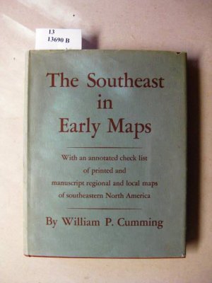
The Southeast in early Maps: With an annotated Check List of printed and Manuscript regional and local Maps of southeastern North America during the Colonial Period.
Cumming, William P.
Chapel Hill: University of North Carolina
, 1973.Zustand: Sammlerstück; gut
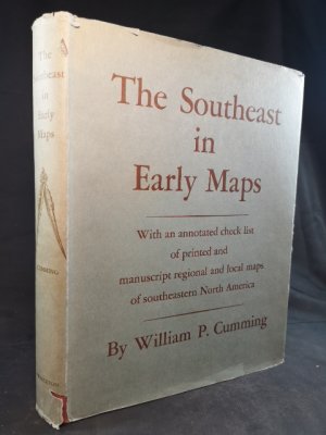


The Southeast in early Maps: With an annotated Check List of printed and Manuscript regional and local Maps of southeastern North America during the Colonial Period.
Cumming, William P.
Chapel Hill: University of North Carolina
, 1973.Zustand: Sammlerstück; gut
Arabia in Early Maps: A Bibliography of Maps Covering the Peninsula of Arabia Printed in Western Europe from the Invention of Printing to the Year 1751
Gerald Randall Tibbetts
Falcon Press
, 1978, LeinenISBN: 0902675583
Zustand: leichte Gebrauchsspuren
mehr Info >>
wird gespeichert …

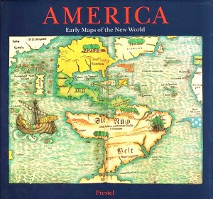
America - Early Maps of the New World on the occasion of the Exhibition held at the Bavarian State Library in Munich, 10 April - 27 June 1992
Hans Wolff
Prestel
, 1992.ISBN: 3791312324
Neuware

mehr Info >>
wird gespeichert …
The Mapping of the World. Early printed World Maps 1472-1700.
Rodney W. Shirley
The Holland Press
, 1984, LeinenISBN: 0946323038
Zustand: leichte Gebrauchsspuren
250,00 €
versandkostenfrei
versandkostenfrei
Rabatt-Informationen
Der Verkäufer bietet die folgenden Rabatte:
Ab 60,00 € 15%
Ab 125,00 € 20%
Ab 200,00 € 25%
Gültig für alle Artikel außer neue Bücher.
Ab 60,00 € 15%
Ab 125,00 € 20%
Ab 200,00 € 25%
Gültig für alle Artikel außer neue Bücher.
wird gespeichert …
Early Printed Maps of the British Isles. A Bibliography 1477-1650. Revised edition. (= Holland Press Cartographica 5).
Kartographie - Britische Inseln]. - Shirley, Rodney W.
London), Holland Press, (1980).

Pen Pictures of Early Western Pennsylvania. Maps and illustrations by Harvey Cushman. 1 of 2000.
Harpster, John W. (Ed.)
University of Pittsburgh Press
, 1938Some early printed maps of Trinidad and Tobago. With a facsimile of Faden's Descriptive Account of the Island of Trinidad, 1802.
London, Map Collectors' Circle, 1964.
, SoftcoverSydney -Side Compares early photogrphs and maps with streetscapes of today-(Australien/Australia)
Richard Whitaker
Universal Press,Australia
, 1986, Hardcover/gebundenISBN: 0949164097
Zustand: leichte Gebrauchsspuren