
Seekarten – Buch gebraucht, antiquarisch & neu kaufen
75 Treffer in
Bücher
gebraucht
Neuware

Navionics Gold New XL9-Size Charts! Seekarte
Navionics Gold
Navionics
, 1985-2007, PappeZustand: leichte Gebrauchsspuren
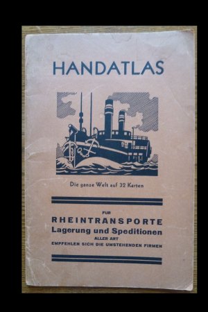
Handatlas Die ganze Welt auf 32 Karten
ohne
, o.J. ca. 1920, kartoniertZustand: deutliche Gebrauchsspuren
mehr Info >>
wird gespeichert …
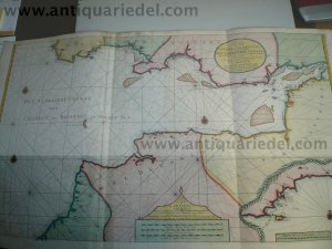


Nieuwe Paskaart van het CANAAL VAN BRISTOL, van Keulen, anno 175
Keulen Johannes van 1654-1715
Keulen Johannes van 1654-1715
Zustand: very good
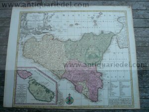


Mappa Geographica Insulae Siciliae, anno 1760, Lotter T.C., old
Lotter C.T., 1717-1777
Lotter C.T., 1717-1777
, HardcoverZustand: very good
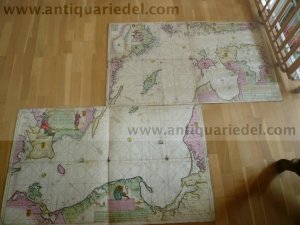


Baltic Sea, anno 1710, Van Keulen, II maps
Keulen Johannes van 1654-1715
Keulen Johannes van 1654-1715
, HardcoverZustand: very good



Ankerplätze in Dänemark
Jan Ebert
DK Edition Maritim
, 1992, Hardcover/gebundenISBN: 3892251703
Zustand: leichte Gebrauchsspuren
mehr Info >>
wird gespeichert …
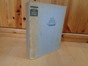
Zu neuen Ufern / PB-VI
M. MURATOW
Mitteldeutscher Verlag
, 1951, HalbleinenZustand: deutliche Gebrauchsspuren
mehr Info >>
wird gespeichert …
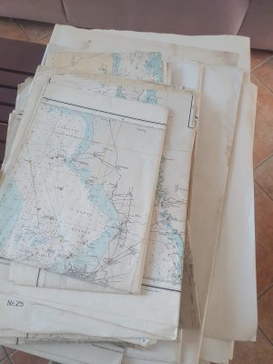
Konvolut - 18 Stk. diverse amtliche, großformatige Seekarten von 196x - 198x
Deutsches Amt für Seeschiffahrt und Hydrographie
Deutsches Amt für Seeschiffahrt und Hydrographie
, 196x +Zustand: deutliche Gebrauchsspuren
mehr Info >>
wird gespeichert …



Gewässerkarte Deutschland - Nordwest: Rhein_Elbe / Ems Weser - Mittelland
Jürgen Straßburger
DK Edition Maritim
ISBN: 3892253420
Zustand: wie neu
mehr Info >>
wird gespeichert …


5 nautische Bücher für den Bootsurlaub zwischen Elbe und Oder (mit Müritz) und 2 Landkarten (Mecklenburger Seenplatte und Stadtplan Waren)
Bodo Müller, Jürgen Strassburger und andere...
ISBN: 3892252149
Zustand: wie neu
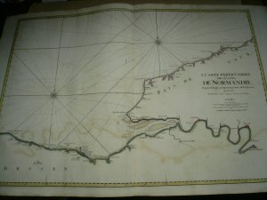


Carte Particuliere Des Costes De Normandie Depuis Jusqu’a La Pointe De La Percee en Bessin Mortier, Pierre, size of the sheet: 62 x 98 cm., printed on thick paper, very good condition, contemporary colours. Carte Particuliere Des Costes De Normandie Depuis Dieppe Jusqu’a La Pointe De La Percee En Bessin. Faite Par Ordre Exprez Du Roy De France is from the collection of charts produced by Pierre Mortier and Huibert Jaillot titled Le Neptune Francois, 1693. This large scale chart shows the coast of France from Sainte Mere-Englise to Dieppe also showing the soundings and shorelines along the English Channel which includes Bayeux and Rouen.
Mortier Pierre
1693, Brief/Blatt/Landkarte
Zustand: leichte Gebrauchsspuren


Die Gewässer um Dänemark
Kohlenberg, Karl F
Delius Klasing
, 1974, 2.Auflage, Hardcover/gebundenISBN: 376880139X
Zustand: leichte Gebrauchsspuren
mehr Info >>
wird gespeichert …


Der Grosse N.V. Hafenlotse / Rund um Fünen - Kieler Bucht
Hasko Scheidt
Nautische Veröffentlichung
, 2003, SoftcoverISBN: 3926376023
Zustand: leichte Gebrauchsspuren
mehr Info >>
wird gespeichert …
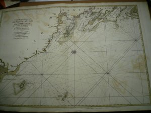


CARTE des costes de POITOU, D’AUNIS et de SAINTONGE depuis l’ISLE DE NOIRMOUSTIER jusqu’à l’embouchure de la Rivière de BORDEAUX, levée et gravée par Ordre du Roy». 62 x 99 cm., original colours. edited by Pierre Mortier anno 1693. Scarce map, printed on thick paper.
Mortier Pierre
1693
Zustand: leichte Gebrauchsspuren
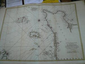


2me carte Particuliere des Costes de Normandie.: JAILLOT, Alexis Hubert/Mortier Pierre Paris: c 1693, printed on thick paper, publishers colours, only little brownish. Size of the sheet: 62 x 98 cm. Copperplate engraving with original outline colour. An excellent large scale chart of the Channel Islands, together with the Normandy, and a small portion of the Brittany coastlines.
Mortier Pierre
1693, Brief/Blatt/Landkarte
Zustand: leichte Gebrauchsspuren
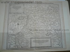
Asiatische Tafel, Syria, Cypern, anno 1600, Münster S.
Münster Sebastian, 1488-1552,Cos
Münster Sebastian, 1488-1552,Cos
, HardcoverZustand: very good

